SKYTECH COL
.gif?width=370&height=208&name=VID-20241101-WA0013%20(1).gif)
Reliable , High-Definition Surveys—From Sky to Site
SkyTech is the aerial services department of BIMCORE Solutions, offering high-precision drone-based solutions for topography, building inspections, and aerial data capture. From terrain mapping to structure analysis, we provide certified pilot services, and accurate deliverables that enhance decision-making and project efficiency across Colombia.
Service Pack
Up to 2,000 m²
2,001 – 5,000 m²
5,001 – 10,000 m²
For major land surveys and corporate projects. Tailored pricing based on scope, location, and technical complexity.
Over 10,000 m²

Certified by Aerocivil Colombia
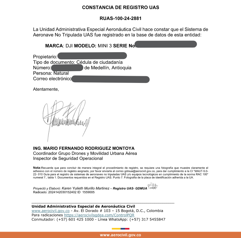
At SkyTech – a division of BIMCORE Solutions – all our operations are officially certified by Aerocivil Colombiana. Our pilots are professionally licensed, and our drones are fully registered and compliant. You get legal, safe, and reliable aerial services backed by national aviation standards.
Fly Into the Future of Topography-
Drone Topography
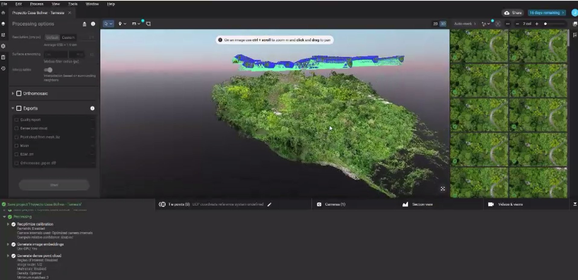
Drone-based topography delivers faster results, greater coverage, and higher accuracy with less disruption on-site. With orthomosaics, contour lines, and georeferenced data captured in hours—not days—you reduce time, cost, and human error across your project.

About Us?
Info Mail:
Bimcs.info@gmail.com
Estimating Department:
jp.bimcs@gmail.com
Management Department:
mm.bimcs@gmail.com
Wpp: +57 3024783882
Antioquia, Medellin, Col
Contact Us
Our customer service representative helps you to understand what we offer for your business goals.
